
Featured
City Center Walk Audit
A clear review of sidewalks, crossings, and bottlenecks.
WALK DATA
See where people walk, where they stop, and where streets block access. Use clear audits and route maps to plan safer sidewalks, crossings, and blocks.

FROM THE JOURNAL
A clear review of sidewalks, crossings, and bottlenecks.
Featured
A clear review of sidewalks, crossings, and bottlenecks.

Dark card
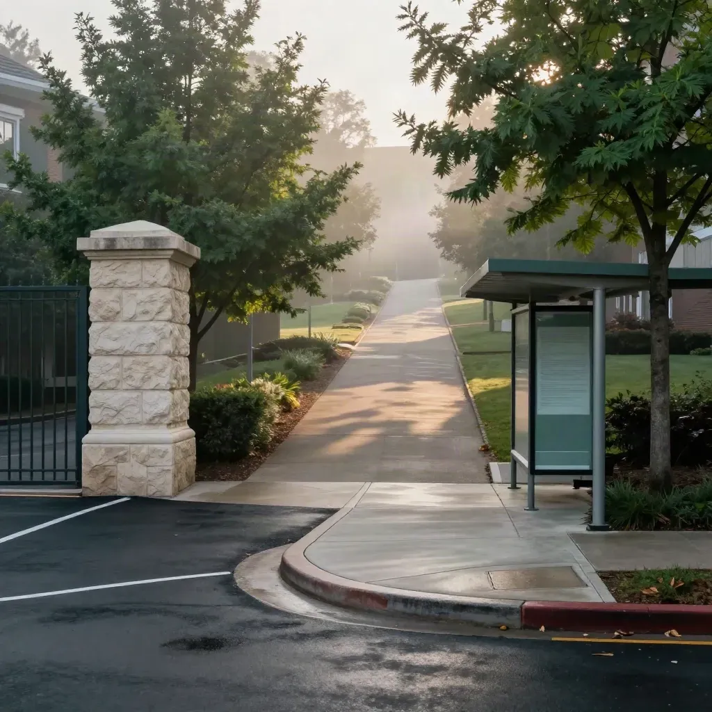
Campus
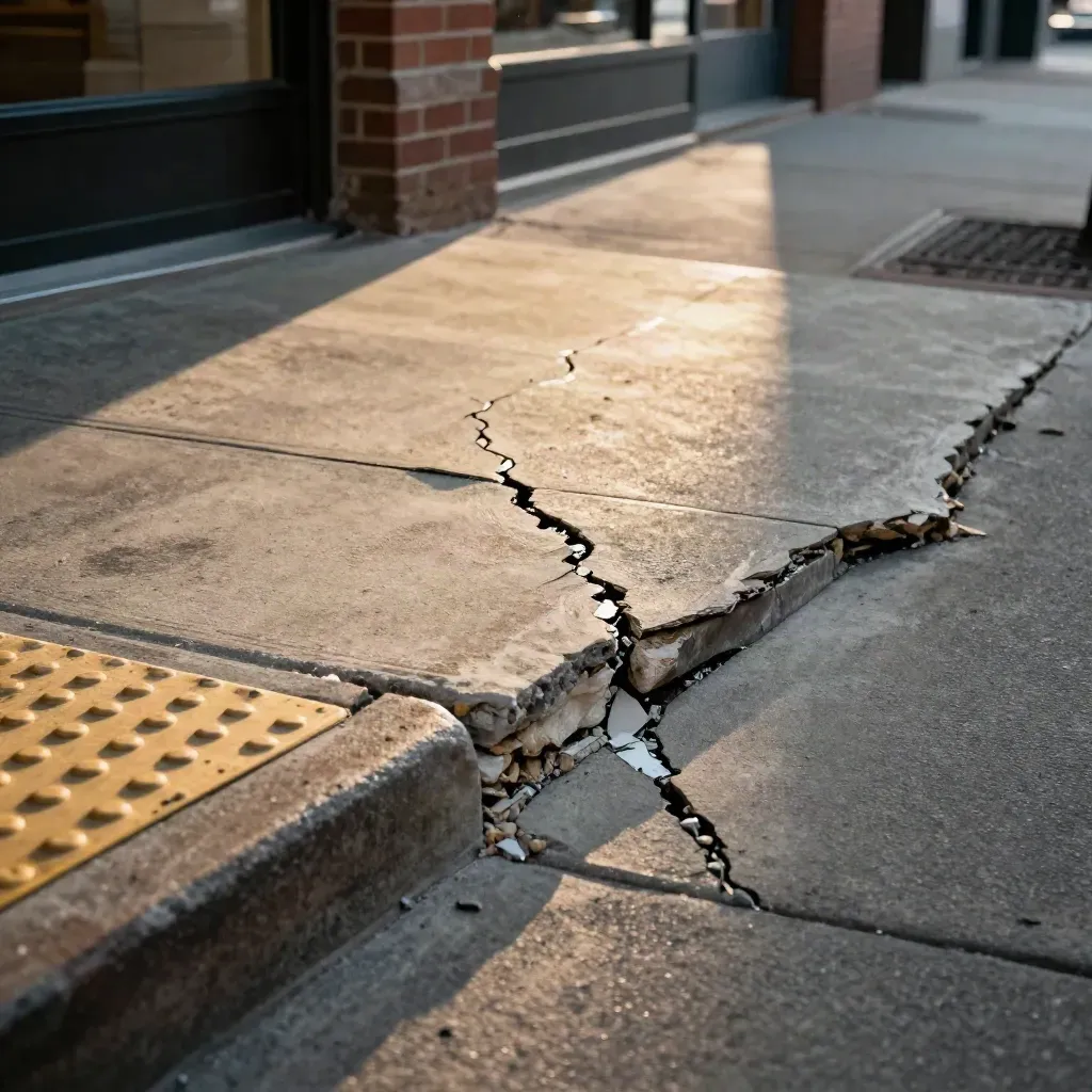
Look at width, cracks, curb ramps, and block edges.
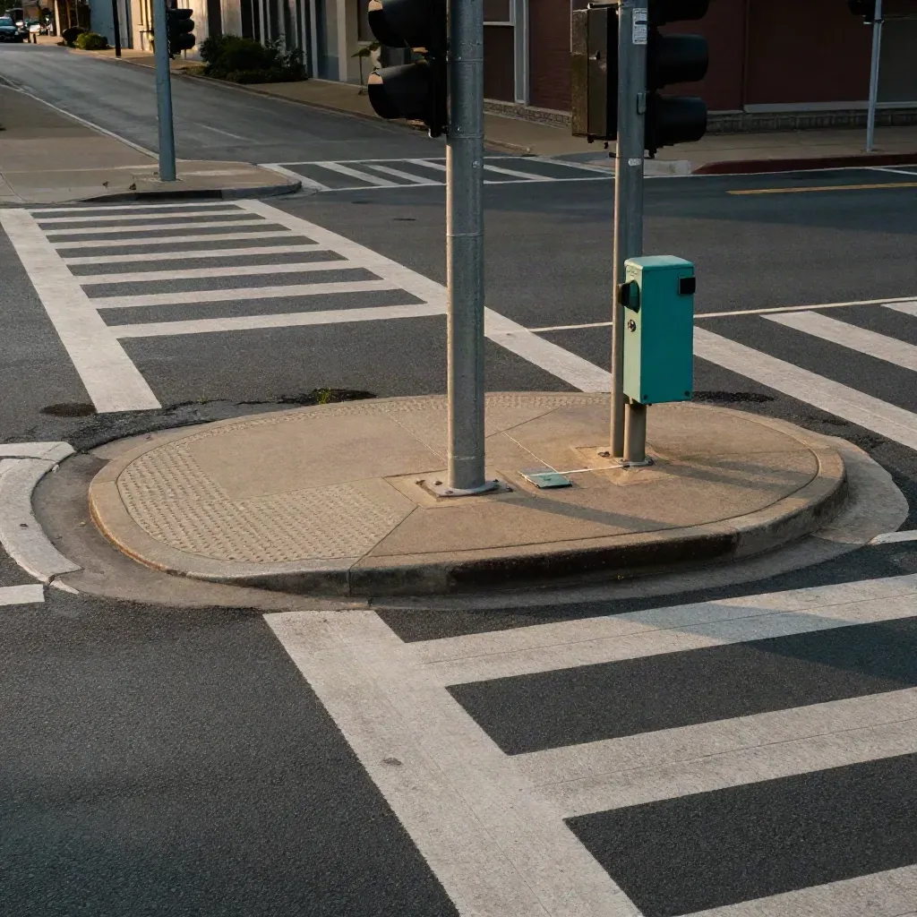
Check signal timing, sight lines, and waiting space.

Track where people walk during peak and quiet hours.
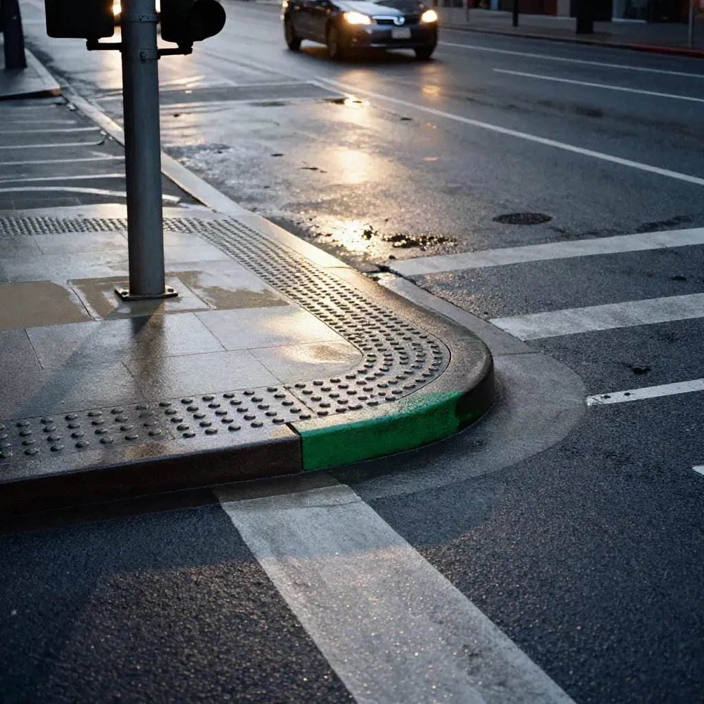
Field note
Field note

Score
Score
TOPICS
Field checks for sidewalks, ramps, crossings, and block links.

GUIDE
Field checks for sidewalks, ramps, crossings, and block links.

TRENDS
Count walkers by hour, route, and place.

TIPS
Simple scores for streets, sites, and neighborhoods.

GUIDE
Clear maps for safer paths to stops, shops, and schools.
streets reviewed
streets reviewed
avg field note turn
avg field note turn
client rating
client rating
Community
“Their audit showed us exact curb and crossing fixes we could act on right away.”
Maya Chen
Mobility Lead, Northpoint City
“The route maps made weak links easy to spot for our planning team.”
Darren Wu
Planning Manager, Lakeview District
“We used the scores in a council deck and got fast buy-in.”
Priya Nair
Urban Design Lead, Metro Works
LATEST FIELD NOTES
See the routes, crossings, and block links that shape daily walking.
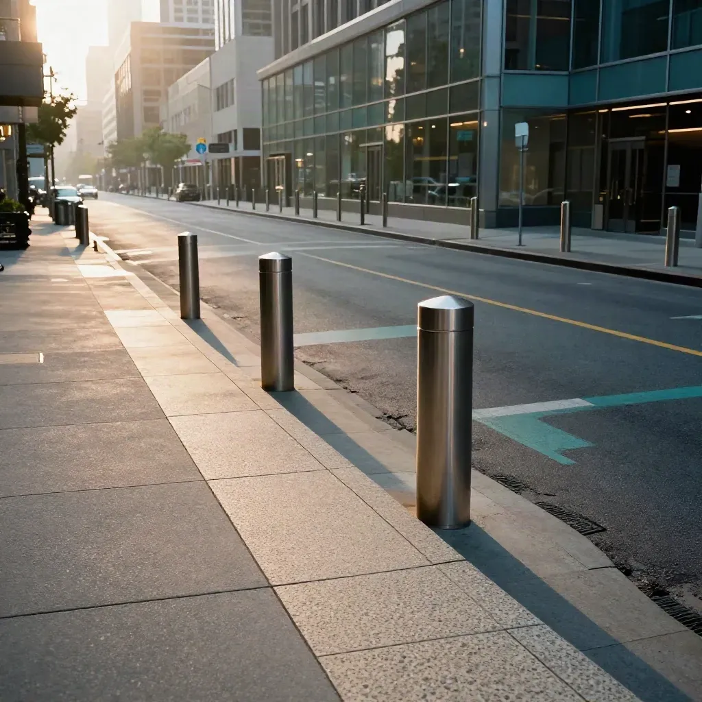
Large feature
See the routes, crossings, and block links that shape daily walking.
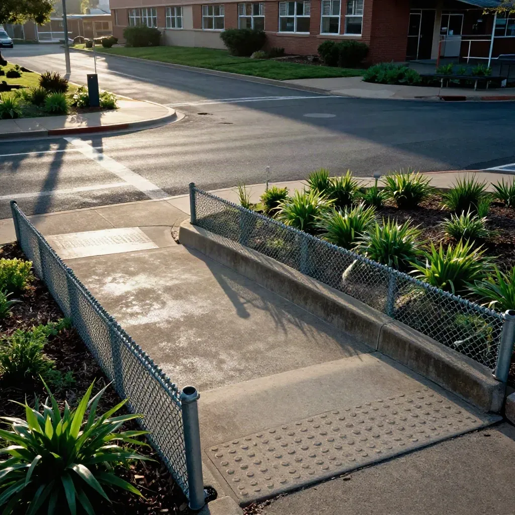
Study crossings, curb ramps, and drop-off paths near schools.
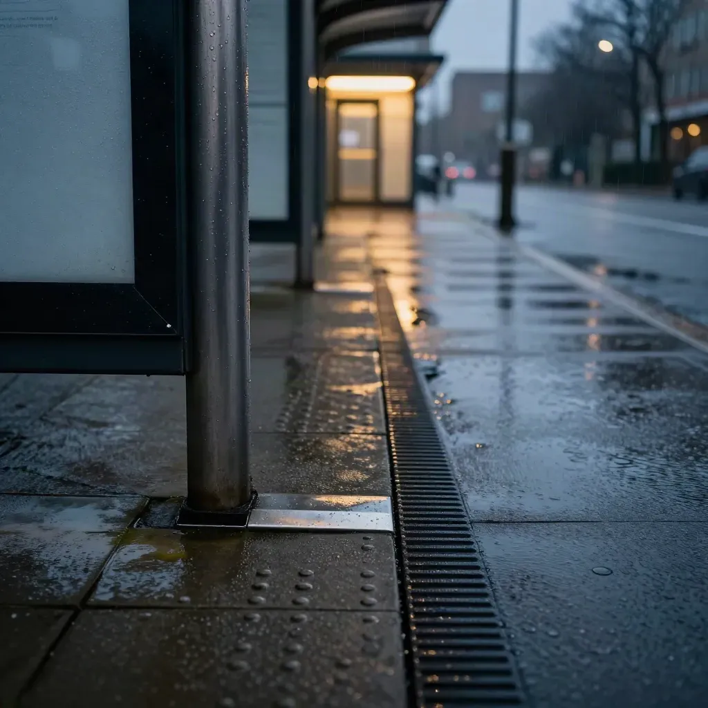
Check the walk from stops to front doors and building entries.

Wide view
Rank walk access by block, corridor, and site.
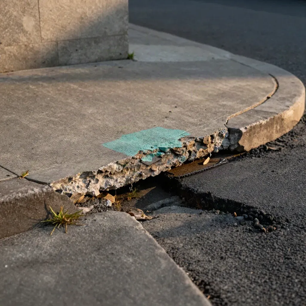
Spot missing links and broken edges fast.
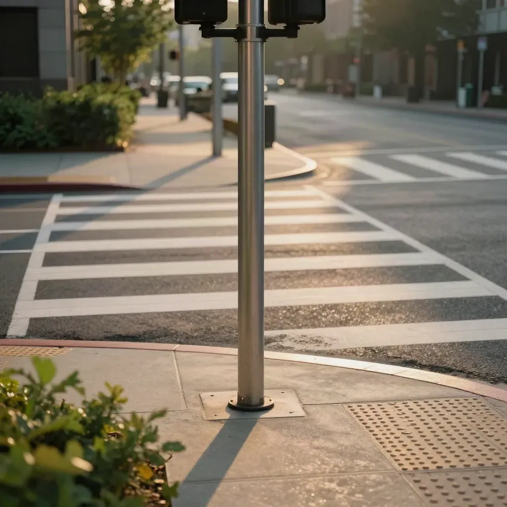
Review sight lines, signal time, and wait space.
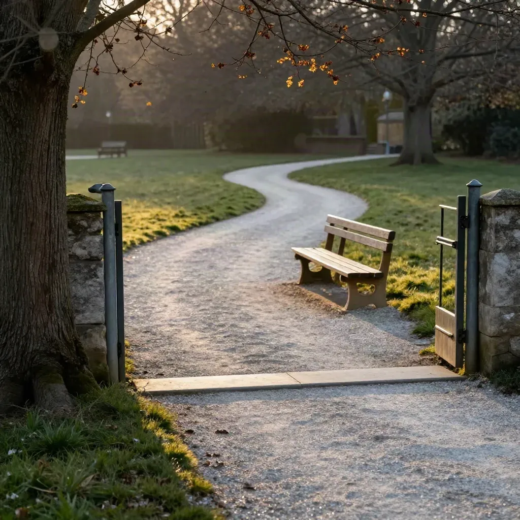
Map the walk from gates to paths and seats.
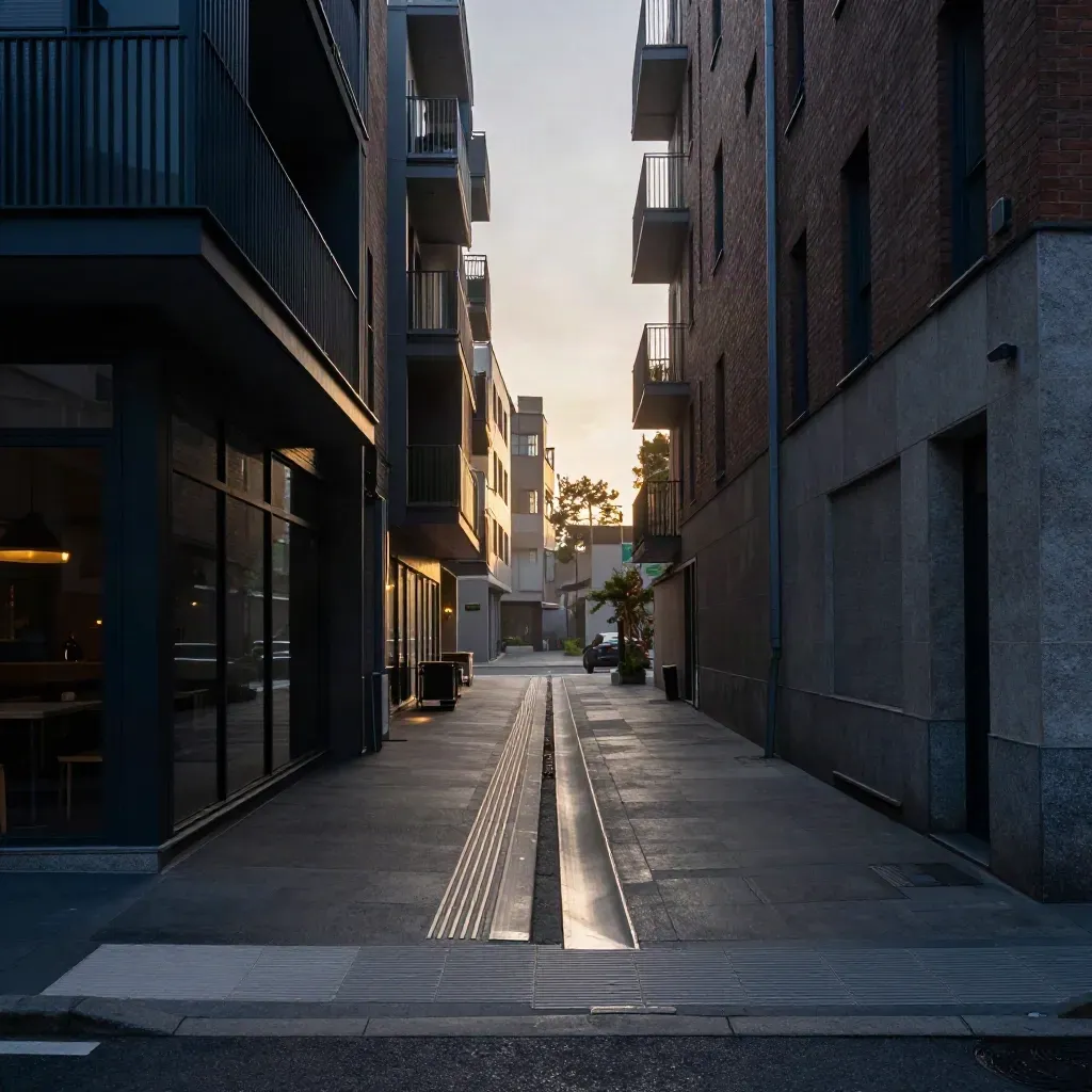
Find weak edges where shops, homes, and stops meet.
Journal

Questions
Quick answers before visitors choose a product, service, or next step.
We check sidewalks, crossings, curb ramps, block length, shade, signs, and the path people really use.
Yes. We support city teams, planners, developers, and mobility groups across sites of all sizes and budgets.
You get scores, maps, photo notes, and clear fixes for each street, block, or route, ready for a deck or memo.
Yes. We count pedestrian flow by time, place, and route so you can see busy and weak spots across the day.
We work in city centers, neighborhoods, campus areas, transit hubs, and new growth sites for public and private work.
Most audits start within one to two weeks after scope and site access are set, and small scopes can move faster.
Get one short email each month with new walk notes, sample maps, and simple ideas for streets, crossings, and blocks.